Getting Wild
Discovering the Discovery Islands
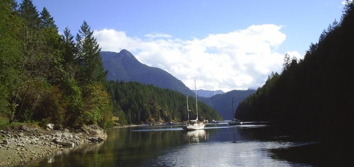
At the northern end of the Salish Sea, the seascape between British Columbia’s mainland and Vancouver Island narrows dramatically, filled by a dense cluster of ten Discovery Islands. This picturesque, crazy puzzle piece of islands shrinks the seascape from a broad expanse to a maze of narrow, twisting and turning passages, inlets, arms and channels — seemingly, far more a landscape than a seascape. Boaters are never more than a few minutes from land and a sheltered cove for anchorage. National Geographic has named this collection of island jewels one of “Canada’s Places of a Lifetime”. Come and see why for yourself.
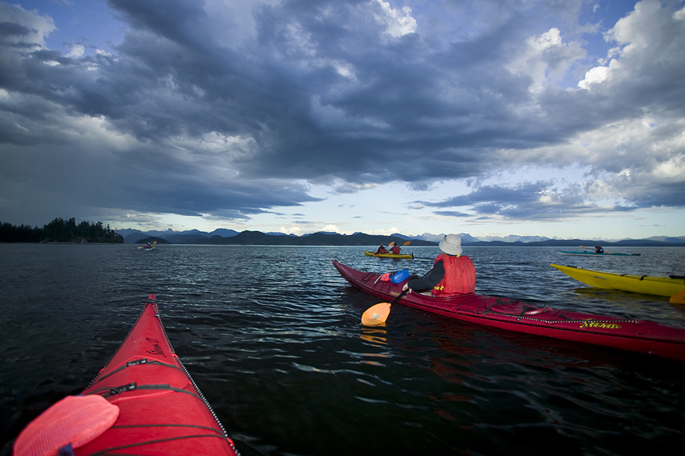
There are endless possibilities for fishing, kayaking, diving, whale watching, beachcombing and hiking. Or just listening to the silence and counting stars in an ink-black sky.
May through September are recommended months for exploration. You can always find a private anchorage, but in May and September you can have the whole place to yourself, almost.
Campbell River on Vancouver Island and Powell River on the Sunshine Coast are full-service starting points for your exploration. Sayward/Kelsey Bay serves as a northern entry to the islands. Many boaters provision, then cruise for a week, return and go out again. It pays to plan for considerable periods of self-sufficiency if the adventurous explorer spirit lures you into this vast wilderness area. Steep-sided inlets and channels can create barriers for both VHF and cellular coverage.
Fishing BC
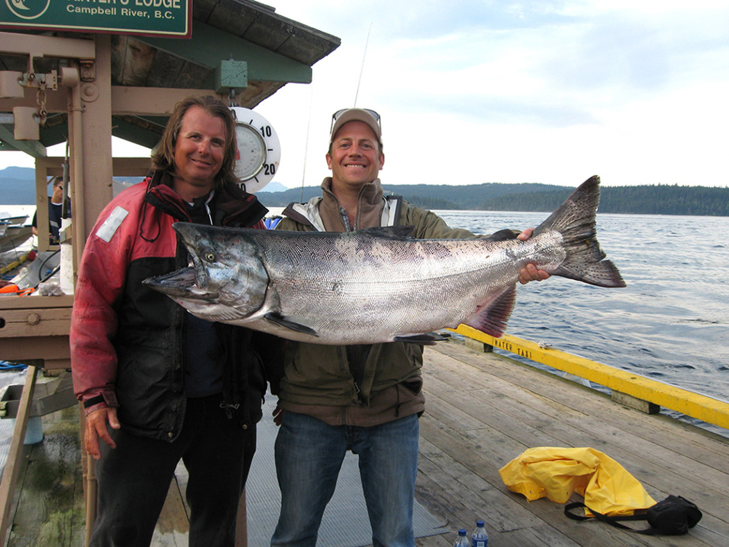
Relatively easy to access and a gateway to true wilderness and more isolated and less visited inlets and waters to the north. The Discovery Islands are a gateway and also serve as a respite for salmon before they head into the Salish Sea, the Fraser River or further south to rivers in Washington. Salmon hailing from rivers near and far pass by on their way to a river in Campbell River or to the south along the east coast of Vancouver Island. The lively tidal flows the area is famous for make for many unique points and structure to fish during all tides. Coho and Chinook through the summer months and Chum salmon in the fall.
Which way should I go?
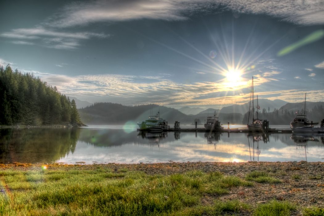
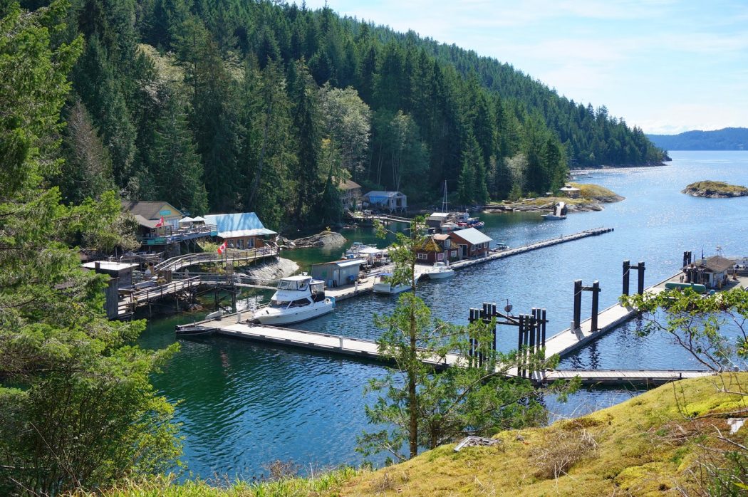
There are countless routes among the Discovery Islands. Despite the lack of settlement on most Discovery Islands, there are nevertheless an impressive 22 marinas, some in surprisingly remote areas, offering a range of services and provisions and valuable advice. A number of marinas are associated with a wilderness resort so, if a break from galley fare or a night off the boat appeals, check out the hospitality. Use the map and search options to locate them.
The Discovery Islands video shows a common itinerary that can be completed in as few as five days, but which can give new pleasures for weeks.
Quadra and Cortes Islands
Cruising north out of the Salish Sea, you find the Discovery Islands’ two most populated and popular islands for boaters.
As well as its many beaches, trails, lakes, and parks, Quadra Island (pop. 2,500) has a thriving art community (including artist studio tours) and a rich First Nations cultural experience, generously shared with guests. The Nuyumabalees Cultural Centre is the place to start with its impressive collection of historic artifacts and art exhibited with dramatic flair. Take a guided tour of nearby petroglyphs, watch traditional dancers and local artists at work, or learn how to barbecue a salmon, native style. Four full-service marinas make a stay on Quadra easy. Or just cruise the generous shoreline of this largest island in the Discovery cluster for a myriad of safe, all-weather anchorages.
Cortes Island (pop. 1,000+), to the southeast of Quadra, is roughly halfway between Powell River and Campbell River. It is an outdoor lover’s destination with five marinas and small communities with well-stocked general stores, cafés and restaurants scattered around the island. A week or two to explore the marine parks, white sand beaches, saltwater lagoons, inlets and freshwater lakes is time well spent.
The most common route into the Discovery Islands lies up Discovery Passage. The narrow passage funnels water from the big ocean in and out of the confined Salish Sea, creating local currents that should be respected. The greatest challenge occurs at Seymour Narrows where currents reach 12 kt. Currents within two hours of slack tide are under 4 kt.
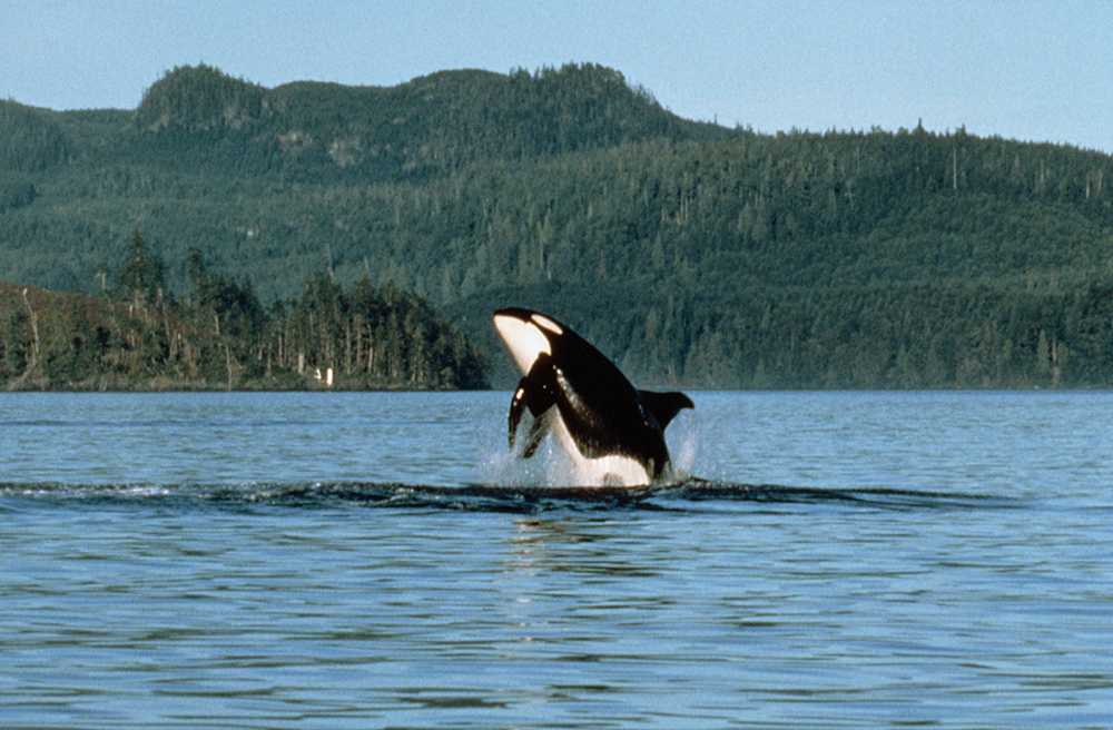
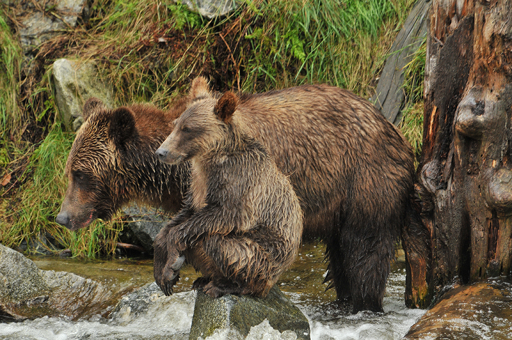
All of the churning of rich nutrients from its deep waters makes Discovery Passage a haven for seabirds, sea lions and seals, as well as visiting humpback whales and orcas, all looking for a tasty meal. People also flock to the area for world-class sport fishing that has made Campbell River the Salmon Capital of the World! Brown’s Bay Lodge is just north of Seymour Narrows, making it a comfortable spot to wait the right time tide or to stay and enjoy the plentiful marine wildlife.
The Thurlows and Cordero Channel
At the top of Discovery Passage you may go west into Johnstone Strait or east in Nodales Channel. We recommend west, around East Thurlow Island and up Blind Channel with West Thurlow Island to port. This route leads to a string of marina resorts that can punctuate secluded nights on the pin. These narrow channels have strong tidal currents that require planning.
Pure lonely wilderness here, you might think, but not quite so. Stop in at Blind Channel Resort on West Thurlow, an amenity-rich result of a four-generation family pioneer dream to build a resort from scratch begun in 1970. Cordero Lodge closed in 2017. There is a lovely anchorage about two km west of the Lodge, tugged into Cordero Cove behind three islands. Shoal Bay Lodge and Marina offers a folksy ambience in a slice of coastal history and an August music festival. Just around the corner, Bickley Bay provides a serene escape from the maddening crowds.
You may return via Nodales Channel (circling East Thurlow Is.) and enjoy protected anchorage and stellar kayaking in Hemming Bay on East Thurlow or in Handfield Bay on the north side of Sonora Island. We hope you have time to continue through the Discovery Islands.
Stuart Island and Bute Inlet
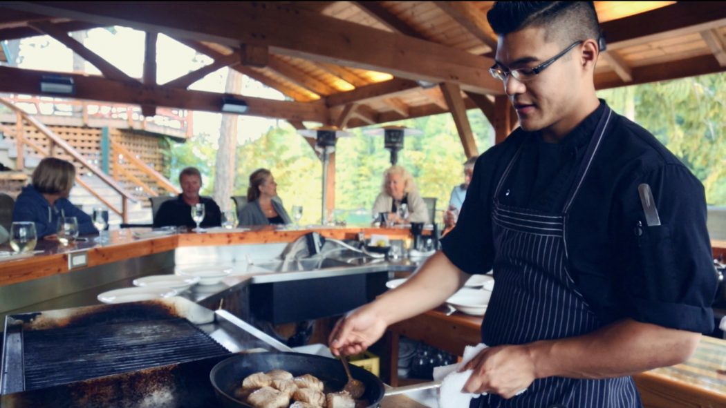
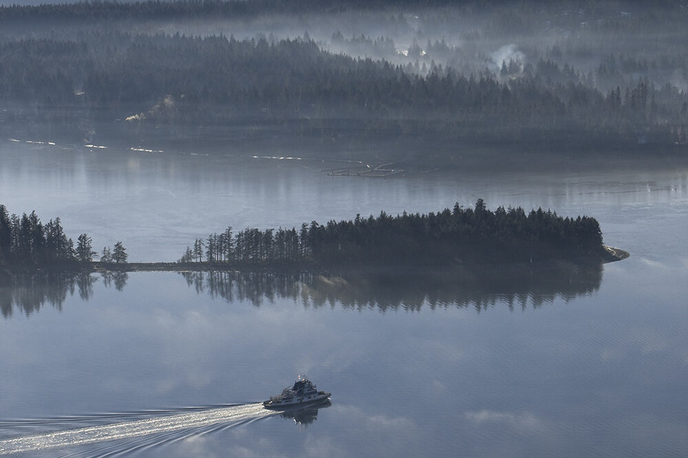
After Shoal Bay, Cordero Channel heads SE until it is nearly blocked by Little Dent and Dent Islands. Passage is via Dent Rapids. Here, Dent Island Lodge and Marina offers a level of comfort and cuisine that deserves more than five stars, considering its location in the coastal outback. The Lodge welcomes recreational yachts (reservations advised) to its marina, spa, and gym, and gourmet restaurant.
Across the eastern-most leg of Cordero Channel from the Lodge is Big Bay, home of Stuart Community Dock and General Store. Find laid back, historical ambience and several short hiking opportunities. Stuart Island has a bustling cluster of moorage and resort facilities, professional sport-fishing guides, eco-tours and all the local advice you could possibly absorb. Enjoy similar comforts and adventure tours at Nanook Lodge. Civilization and wilderness meet here! Currents getting to the Big Bay and leaving on the Discovery circuit require thoughtful timing. If Bute Inlet is part of your trip, we recommend you take the long way around Stuart Island, rather than risk Arran Rapids.
You have come this far and you have heard that the head of Bute Inlet is crowned by fang-topped Mt. Waddington, highest peak in the Coast Mountains of British Columbia, and the icefields of Homathko Glacier. The challenges are strong outflow winds, no marinas or worry-free anchorages. Francis Bay is a secure, scenic location for staging, but not any closer than Big Bay. Fawn Bluff Cove, at the base of the Inlet, provides a descent haven in settled weather, with a private resort community to keep you company.
The Redondas and Toba Inlet
Your route to Toba Inlet lies SE on Calm Channel to Raza Passage and around Raza Island to Pryce Channel. This route provides an opportunity to explore Ramsay Arm and settle in for a night in peaceful, scenic Francis Bay. Emerald waters and waterfalls plummeting from sky-high are a fraction of the grandeur of Toba Inlet. Toba Wildernest Lodge, at the entrance to the Inlet, offers moorage, cabins, water and basic provisions (ice cream); a great base for exploring a remote region that few people will ever experience. The only good shelter is in Brem Bay and your likely choice is to tie up to a logging boom. From there it is only 20 km to the head of the Inlet.
The Redondas, with deeply-thrusting inlets that threaten to sever each island, offer endless wilderness adventures. They are renowned for warm ocean waters and warm lakes, waterfalls and sinuous inlets. They round out your exploration of the Discovery Islands, but are commonly an extension of a trip to Desolation Sound. There are three provincial marine parks with protected anchorages but no services.
Roscoe Bay Marine Park (50 9.7 N 124 44.7 W) Inserting E-W into the SE corner W Redonda Island, Roscoe Bay offers a large, all-weather anchorage with depths of 3-9 m. There is a bar near the entrance that dries at low tide. Although very popular, this is a quieter place than the Desolation Sound gems. The walls of the basin are steep, except at the W end where a short trail leads to warm Black Lake. Follow the trail past the first encounter with the lake and you may be rewarded with a private beach. For the sturdy hiker, a 6-km trail leads from the kayakers camp on the beach on the N side of Bay to Mount Llanover (elevation gain 675 m).
Walsh Cove Marine Park (50 15.9 N 124 48.1 W) Located far up Waddington Channel on the route to Toba Inlet, Walsh Cove has room for a dozen vessels, fair protection in 4-12 m. The Park’s sign on Gorges Islands is easily visible. Enter from the south only, preferably at low water. A bonus: potable water is available from a pipe at the top of a drying nook on the western side of the Cove.
Pendrell Sound departs from Waddington Channel and nearly bisects East Redonda Island. The E shore is an ecological reserve. The deep, non-circulating water reaches 25°C (80°F). These conditions are perfect for oyster reproduction, which is why the Sound is a wake-free zone and no-sewage-discharge zone. The head of the Sound has several nooks that offer temporary, stern-tie moorage in deep water. About 1.5-nautical miles before the head, on the west side, is a small island guarding a shallow bay. The bay affords protected anchorage, with stern-tie in about 10 m. Mountain views are extraordinary and the drying shingle aprons along the shore offer opportunity to walk a bit.
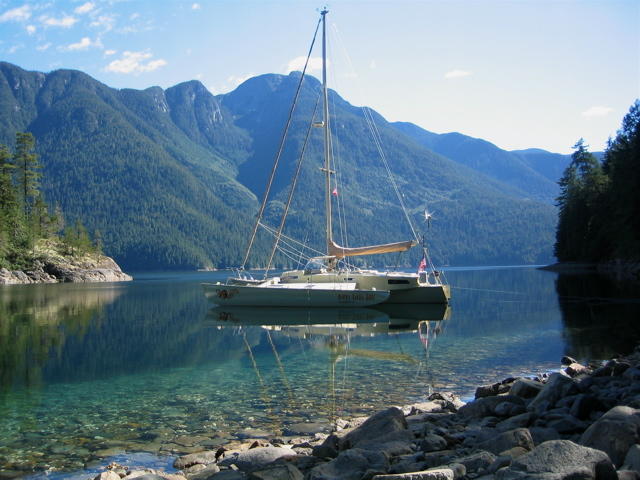
Refuge Cove Marina and store is unique for its rustic charm and outpost character. Located at the southern tip of West Redonda Island, it is a must stop. You can tie up for four hours at no charge or for an extended period.
From here you can cruise the south shores of Cortes and Quadra Islands back to Campbell River, or tour your way south down the Sunshine Coast.


