
This guide to anchorages should be used in tandem with the maps of Sunshine Coast/Princess Louisa Inlet and Desolation Sound, found under the Explore tab at the top of the page.
The Sunshine Coast is popular because it is close to metropolitan areas. It is like a microcosm of the entire coast, with deep fjords, tightly knit archipelagos, secluded havens, punctuated by hospitable communities, each with its own character. We have included Desolation Sound in this guide, because so many boaters are on the way up the Sunshine Coast to that fabled destination. And the Sound is geographically part of the Sunshine Coast.
Most of the Sunshine Coast is exposed and does not offer secluded anchorages. We list many of these, and fill in the gaps with marinas and communities. We begin in the south, at the base of Howe Sound.
You will travel in the traditional territory of skwxwú7mesh Nation, shíshálh Nation, Tla’amin Nation, and Klahoose Nation. There are many archaeological and sacred sites on the mainland and coastal islands. We recommend that you read our Travel in First Nations Traditional Territories guide so you can be confident that you are respecting the culture of the original inhabitants.
We do not provide navigational instruction in this guide. Charts and tide tables are mandatory. We recommend you carry a recognized guidebook.
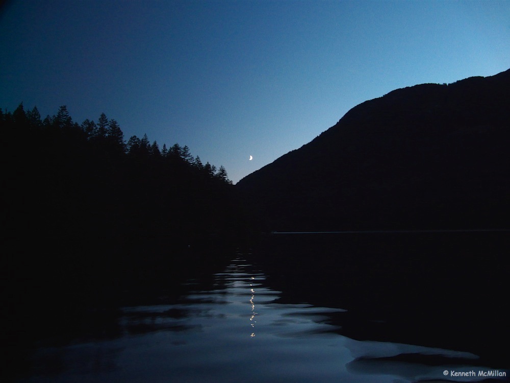
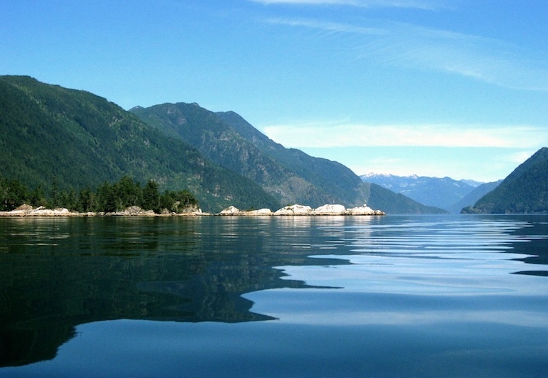
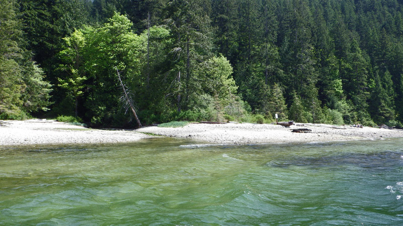
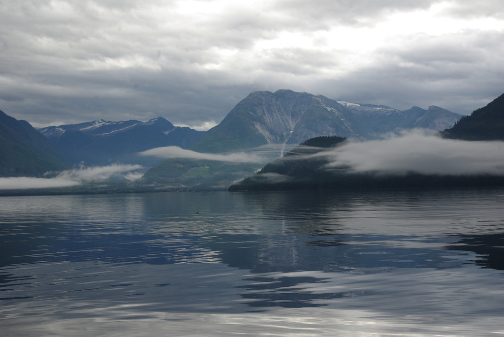
click on photos to enlarge
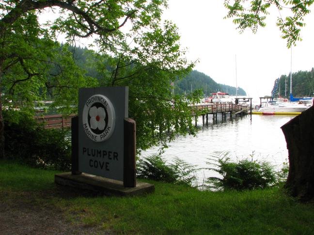
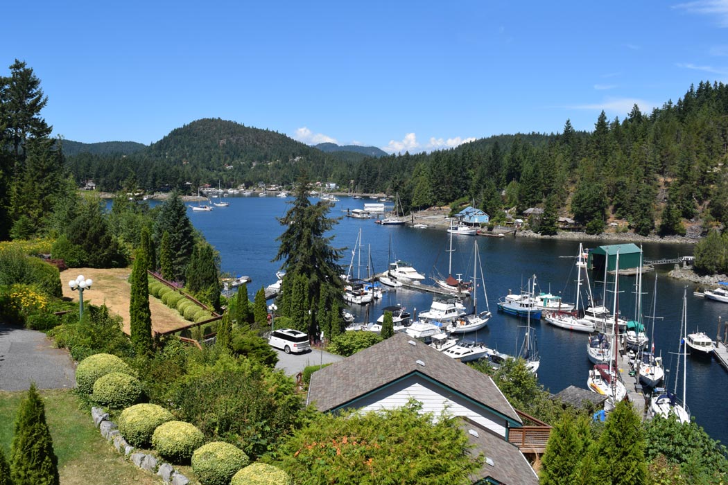
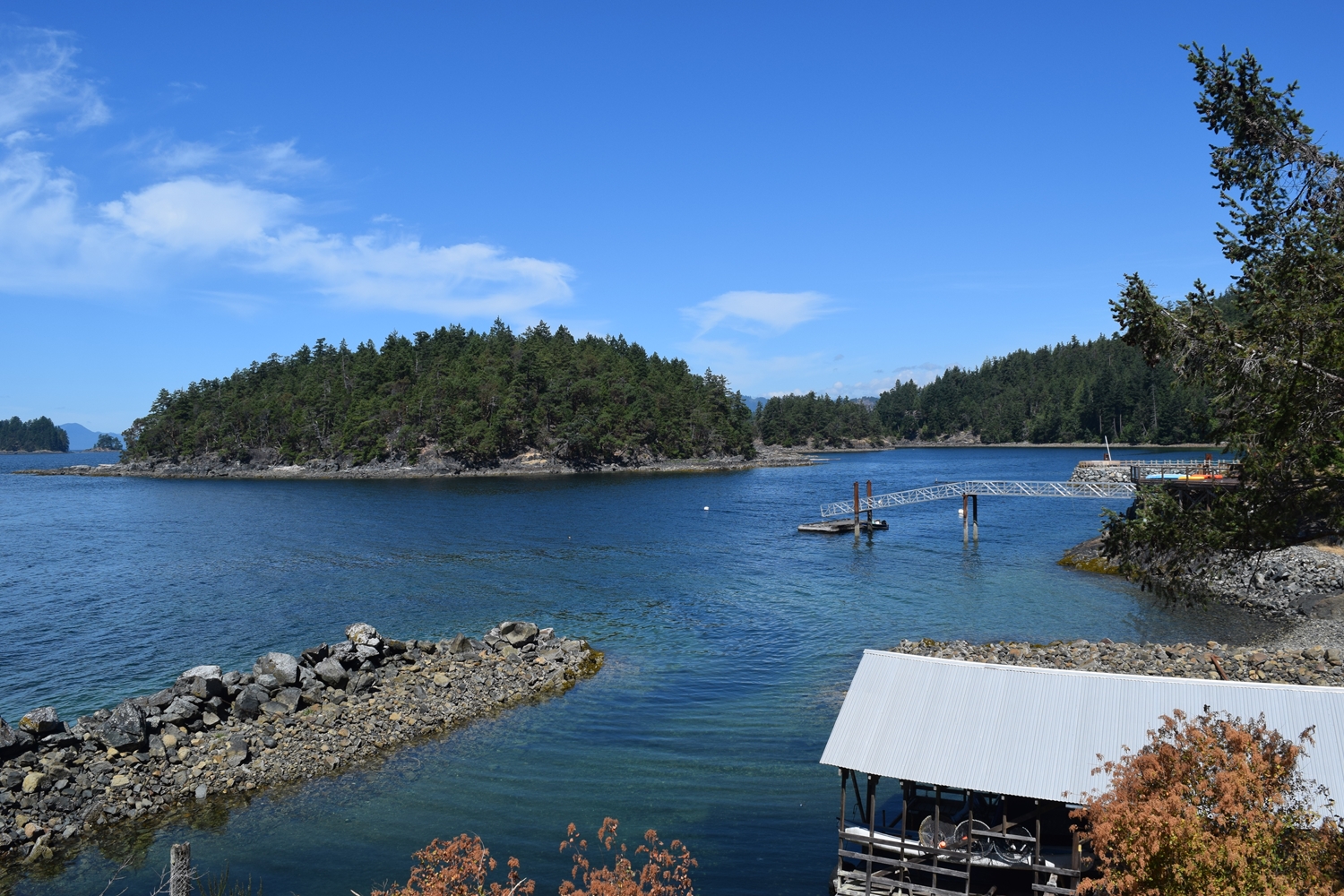
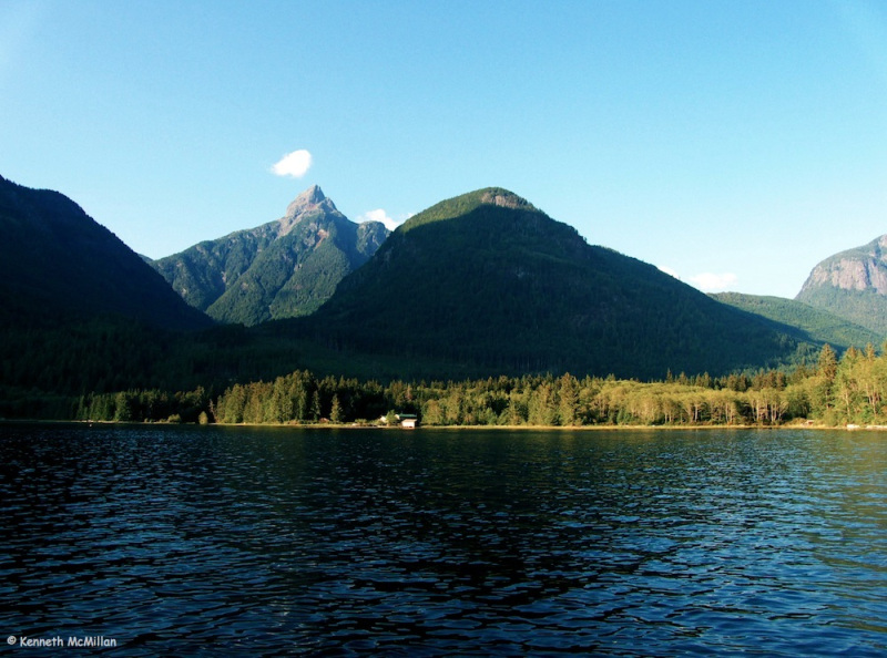
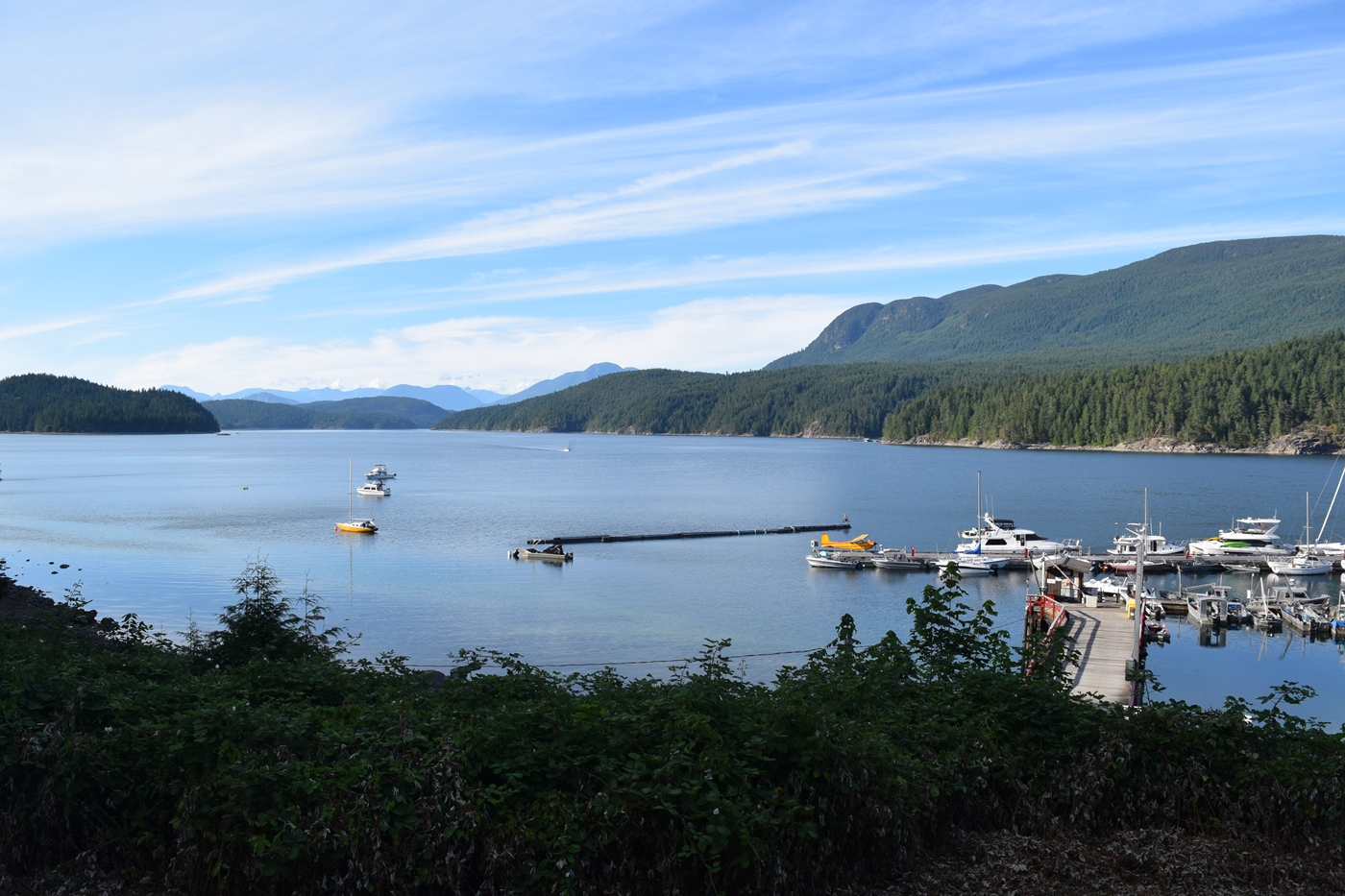
Plumper Cove — Chart 3526 | 49.24.2 N .123.28.6 W
This is a very popular spot for Vancouverites and on summer weekends the Cove will be full of boats, and sometimes the sounds of people enjoying good times. The campground is well-tended and pleasant. The pebble beach is a good place for swimming. There is a short hike to Observatory Point, with views up Howe Sound and a 2.5 km hike to Keats Landing. Gibsons Harbour is minutes away by tender. There are nine park’s mooring buoys and ample room at the park’s float. Anchor to the S of the buoys in good mud. Exposed to easterly winds, which are not common in the summer.
Gibsons — Chart 3526 | 49.24.0 N 123.30.0 W
We recommend, at the very least, that you stop at Gibsons Landing for part of a day. There are many places to have an excellent meal and enjoy liquid refreshment. Click above on the Food and Beverage Guide. It is worth spending a night, or a couple of nights. The Landing shops cater to the visitor. Stock up on gourmet quality meat, fish, cheese, chocolate and produce at Gibsons Public Market, located near Gibsons Marina. Enter the channel between Keats Island and the mainland from N or S, but the S entrance is shallower and currents can be strong. There is a well-marked rock due E of the entrance to the harbour. Behind the breakwater are Gibsons Marina and public dock. Both take transients and one way or another they will find room for you . . . almost all the time.
Sargeant Bay — Chart 3512 | 49.28.2 N 123.51.0 W
This is a lovely little spot, especially for nature lovers. Behind the pebble beach is a bird sanctuary in marshland. The Society that maintains the Park has placed several interpretive signs that make a short walk engaging. Calvin Creek enters at the NW corner of the bay, near a tall rock outcrop. This the best place to land, but note the private property sign on the rock outcrop. Follow the creek to a fish ladder and beaver pond. Up a short road and across Redrooffs Road, a hiking trail follows Calvin Creek through charming and inspiring forest. There are a few homes with views of the Bay and room for about four vessels to swing. Depth is 3-8 metres, with mud/sand bottom. Not the place to be in strong S or SE winds.
Frenchman’s Cove — Chart 3535 | 49.30.1 N 123.56.5 W
This is a tight, all-weather anchorage with a narrow opening with 2 metre depth at LW that leads to three basins. The inner basin is too shallow at LW. An excellent alternative to nearby, usually occupied, Smuggler Cove. There is little swing room, but there are several good stern-to locations. Between the islands you’re are out of view of homes. It feels private, the shore lines are captivating, the water warms and there is a good chance of viewing seals. Approach with caution and charts in hand. Nearby the tiny hamlet of Half Moon Bay is worth a visit. From the public wharf, you can walk to the old general store and café, featuring homemade pizza and baked yummies. A nice place to stretch the legs.
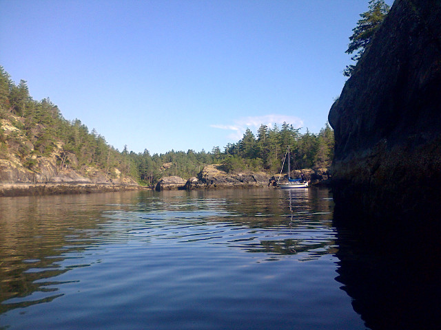
Smuggler Cove — Chart 3535 | 49.3 0.9 N 123.58.3 W
Just around the point of land from Frenchman’s Cove, this idyllic, secluded anchorage is very popular. There are stern-tie rings, so up to 20 boats can be accommodated, but it is unusual to see more than a dozen. So, if you like company in Eden, this is the place. Outside of July and August you might find a nook all to yourself. You can go ashore and hike extraordinary trails on boardwalks through beaver-flooded forest. The water is delightfully warm from May through August. Anchor in the middle of basins to allow for significant changes in depth and consult chart for obstacles. It is safe, but caution is required. This is a haven during bad weather.
Secret Cove — Chart 3535 | 49.31.6 N 123.58.2 W
Like Smuggler Cove, this is no secret. The cove has three arms: Buccaneer Marina is in the central arm; Secret Cove Marina is in the left arm; the right arm is vacant except for a Royal Vancouver Yacht Club float. There is ample room to drop the pin behind the island guarding the entrance and in the left and right arms. Protected in all weather with good holding in mainly mud. A steady stream of boats come and go, especially to Secret Cove Marina, which has fuel service, store and a fine, little restaurant. It is an attractive stretch of water and the service and friendliness of Secret Cove Marina is renowned.
Thormanby Islands — Chart 3535
These islands offer several anchorages and are worth at least a day visit on your voyage. The north and south islands are joined, except at HW by a sandbar that is an inviting beach. The drop-off is rapid at the head of Buccaneer Bay, so anchoring is convenient. There are three anchorages in Buccaneer Bay, which lies between the north and south islands. One is behind the group of four islands on the E as you enter the bay. A second is adjacent to the beach off of Buccaneer Bay Marine Park, near the lagoon mouth. In high summer, there is a lot boating and water-skiing activity in the Bay, so you might choose the more secluded anchorages. The third is in the small bay at the SE end of the bay. It is the most weather-proof, but it contains a private marina. On the outside of the south island are two tiny coves surrounded by Simson Marine Park. They are easily found when you round the SE end of the island. The more southern cove has good holding, 3-6 metres depth and is protected except from the SE. The northern cove is exposed in several directions and is mainly used temporarily while exploring the park.
Harness Island — Chart 3512 | 49.35.4 N 124.01.4 W
You are likely to have this cozy anchorage to yourself, but there are homes on the SE shore. Approach from the SW and anchor offshore from the gap between larger Harness Island and the small island due north. Depth is 5-6 metres with decent holding in mainly mud.

Bargain Bay — Chart 3535 | 49.36.2 N 124.02.2 W
Again, we apologize for the shortage of secluded havens on this portion of the Sunshine Coast. Bargain Bay is surrounded by homes, but boat traffic is modest. There is plenty of room to swing in the central bay in 6-8 metre depth over a mud and stone bottom. This spot’s chief attribute is kayak exploration. One can venture out the bay southward, around the island that guards the bay and down to Harness Island. At the head of the bay is a bridge. Accept at LW, you can paddle under the bridge into the rocky maze that houses Painted Boat Resort and Coho Marina. From there, Pender Harbour is a few strokes away. Pamper yourself with a massage and spa at the Painted Boat and stay for a fine dinner. The bay is open to the SE, but while we were there it was blowing hard from the SE outside the bay, but barely a stir deep in the bay.
Pender Harbour — Chart 3535
Pender Harbour is an important stop because food, fuel and marine services are available. Garden Bay Pub and several restaurants in Madeira Park are easily accessible (see Food and Beverage Guide). There are several marinas. Pender Harbour Resort and Marina offers rooms and cabins. Sunshine Coast Resort and Marina has a variety of accommodation/activity packages and a spa. This is boating central; packed during high season and active in all seasons. A great place for kayak exploration. There is one place you are likely to be alone or in thin company. Gunboat Bay is entered at the E end of Pender Harbour through a narrow channel that is impassable except at MW and HW. Tidal currents reach 6 knots, but are slack at HW. It is secluded inside, except for the E end, where the highway is near and there are homes. A perfect spot for kayaking, including through tidal flats at the head of the bay. Depths run 6-9 metres and the bottom is good for holding almost everywhere. A good place to enjoy the buzz in Pender Harbour and get away for the night.
Egmont — Chart 3512
No coordinates given because we are describing the region. This is a place of outstanding beauty, just off the main route and at the base of majestic Jervis Inlet. The Inlet provides views of lofty mountains. After rainfall, scores of waterfalls ignite. And at the top lies Princess Louisa Inlet. One of BC’s biggest natural attractions, the Skookumchuk Narrows (aka Sechelt Rapids) are nearby. Bathgate Store and Marina provide fuel, general store and lodging. Nearby is the Backeddy Resort, a place you really don’t want to miss for its rustic charm, good vibes and pub fare. Waterside cabins, inn and geodesic domes give a break from cramped quarters. Next door is the West Coast Wilderness Lodge, with a fabulous view and food to match. Refuel before your trip to Princess Louisa Inlet.
Sechelt Inlet — Chart 3512
Sechelt Inlet would be a popular boating destination, if reaching it did not lie through Skookumchuk Narrows. However, safe passage may be made at slack water. Passage should not be attempted at any other time. Once inside, the long, narrow inlet with two deeply penetrating arms, surrounded by impressive mountains, is your reward. You are more likely to meet paddlers than you are boaters at the many rustic campsites. Once you’re inside, might as well spend a few days exploring. If you are looking for the ideal place for a Spring or Fall excursion, Sechelt Inlet is ideal. Work your way south, winding up at Sechelt’s Porpoise Bay Public Wharf and famous Lighthouse Pub. Restock on fishing gear and much more at the Lighthouse Marine Store. Here is a sample of best anchorages on the way.

Storm Bay — Chart 3512 | 49.39.2 N 123.49.4 W
Your first refuge in Sechelt Inlet rewards you with a variety of exploration options. Kayaking, a warm lagoon, and the remains of an old cannery make for a full afternoon. On the west side of the mouth of the bay are two small private islets. Behind them is a smaller island that is public land. Enter Storm Bay from the NE and swing west once you are past the third island. It is all private land surrounding the cove, but you can stern-tie to shore. This is a popular anchorage because it is well protected against all weather. Depths near the mainland shore are shallow: 2-4 metres. Holding is good in sand and mud.
Tzoonie Narrows Marine Park — Chart 3512 | 49.42.4 N 123.47.0 W
Narrows Inlet is the first and smaller of the two secondary inlets. It leads through powerful landscape with a new peak visible around every bend. The Marine Park is before Tzoonie Narrows. It is worth the trip to the head of the Inlet, but tidal currents in the Narrows are strong; consult tide and current charts. There are campsites in the Park. Safest anchoring is straight out from the most northern campsites. Don’t venture much further than between the large rock and the shoreline. There is only room for a few boats to swing; water is deep (over 10 metres) and holding is spotty due to rocky bottom sections.
Kunechin Point Marine Park — Chart 3512 | 49.37.8 N 123.48.8 W
Located at the mouth of Salmon Inlet, the Park has two camping areas. Anchorages front each. There is no potable water. There is a light on the tiny islet south of the Kunechin Point. Approach the cove on the W side of the point from W. Best to stern-tie to one of the little points in this cove with your bow pointed south. The water is deep (5-10 metres) but the bottom is unreliable. This cove is exposed to weather from the S and SE. The second place to lay over is on the east side of the point and is approached from the SE on Salmon Inlet. Rocks abound south of the entrance, to port as you near and there are two massive drying rocks in the centre of the cove. Depths are only 2-3 metres in the outer cove and only very shallow hulls can venture into the inner cove. Exposed to the S and SE; stern-tie recommended with bottom holding unreliable. We always delight at the wildlife around the Point. Ospreys and bald eagles and frequent seals on the islets near the light. The Point is a great place to explore by kayak with some fascinating geology – stress fractures, erratics, mineral seams – along the shore.
Nine Mile Point Marine Park — Chart 3512 | 49.35.3 N 123.47.2 W
You are now within day-trip range for kayakers out of Tuwanek and the campsite is often full in mid-summer. This site is large and split into two areas by a large creek. There are many areas for tents, as well as two fire pits, an outhouse and many take water from the creek. Views and sunsets from this side of the inlet are magnificent. There is lots of room to walk about, including the remains of a logging road. Approach from W, preferably at LW. The drop-off in front of the beach is steep and you will want to get as close to it as possible to minimize the length of your stern-tie. There is no protection from wind or waves, but Sechelt Inlet is so narrow that most nights you will sleep comfortably.
Jervis Inlet and Princess Louisa Inlet
Jervis Inlet, like most fjords, is narrow and steep-walled. It is 30 NM long, with Princess Louisa 25 NM from its mouth. The steep, colourful walls, numerous waterfalls (post-rain) and the towering, snow-clad peaks provide the true-fjord experience relatively close to where most of us live. (You can have the same experience north of Desolation Sound, in the Broughton Archipelago and Great Bear Rainforest.) And hey, why go any further; Jervis at 732 metres is the deepest fjord on the coast of British Columbia.
Guidebooks show anchorages near Goliath Bay at the Inlet’s entrance and about a third of the way up at McMurray Bay, where the Inlet swings NE. Both of these make delightful day stops and can be used over-night in settled weather. If you are looking to get an advanced start on the trip to Princess Louisa Inlet, then Vancouver Bay, about 5 NM up Jervis Inlet, is an option. We recommend two other anchorages near the mouth of Jervis Inlet.
Vancouver Bay — Chart 3514 | 49.45.12 N 124.05.41 W
Not many people anchor in Vancouver Bay because most have Princess Louisa Inlet in their sights. But it is spectacular in there! The distance is right to make the Bay a day-trip base for Princess Louisa. The Bay is shallow enough to anchor. It’s a bit open to the NW and finding good holding may take a few tries. It is a popular camping spot for kayakers and old roads enable hiking up the Vancouver River. Much of the land surrounding Vancouver Bay is owned by logging corporations, but some has been leased back to the Sechelt First Nation. The Sechelt people permit camping on their land near the Vancouver River, provided you check in at the band office in Sechelt. There is also a treatment center for native youth in Vancouver Bay that is private property and not open to travelers.

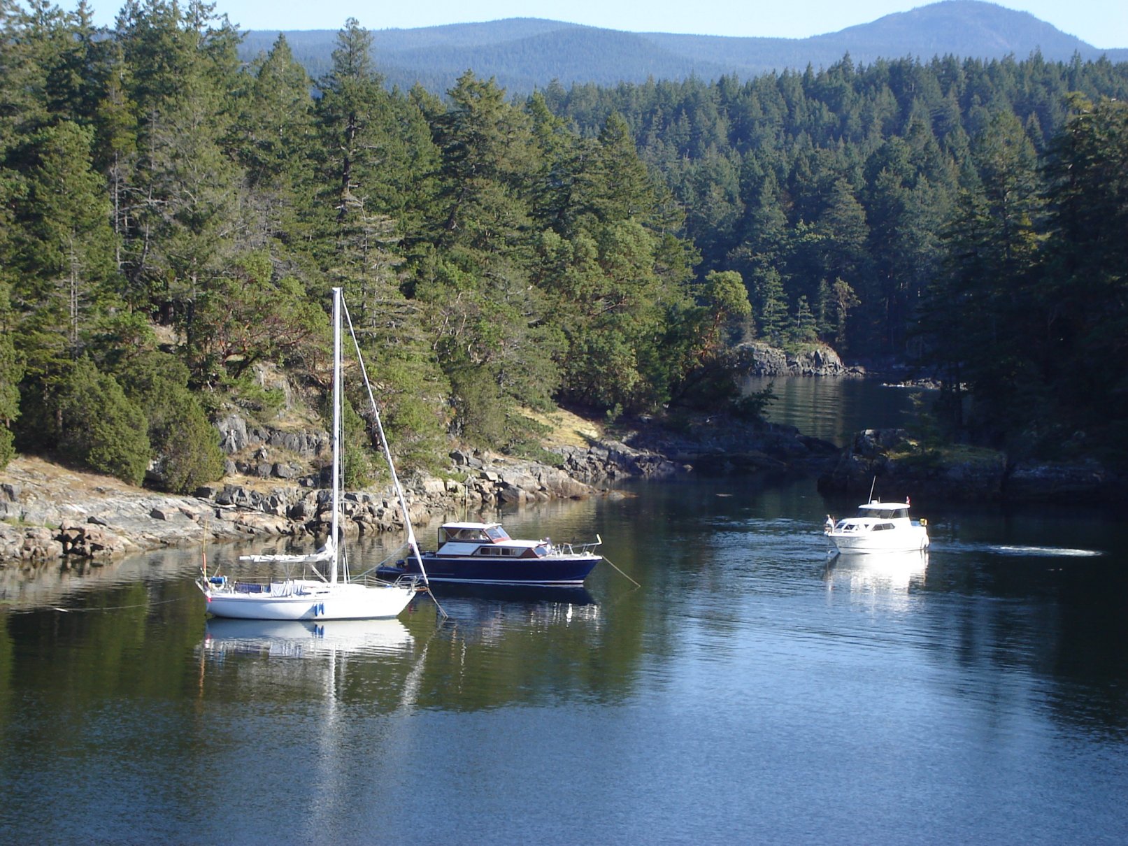
Ballet Bay — Chart 3514 | 49.43.0 N 124.11.8 W
This all-weather anchorage is popular for those on their way to Princess Louisa Inlet, but many a boater has found the charm of this tight island group compelling enough to remain a day or two. Charming, tranquil, with plenty of kayak or dingy exploration opportunities. Much of the land is private and there are cabins on the shores. You may hike the trail over the height of land to Hidden Basin. Enter from Malaspina Strait through Blind Bay to the southwest of Clio Island, the first and largest island in the group. Watch for uncharted rocks. There is good holding in 2-10 metres, with mud bottom in the outer portion of the bay. The inner bay has some mud and, nearer shore, rock bottom. Take Telescope Passage at the east end of Blind Bay on your way to Princess Louisa.

Hardy Island Marine Park — Chart 3514 | 49.43.2 N 124.12.9 W
Formerly known as Musket Island Marine Park, like its neighbour across Blind Bay, this is a common last stop before Princess Louisa Inlet. Except, likely for fuel at Back Eddy Resort. The marine park provides lots of room to explore and stretch the legs. There is a cabin with a sizeable jetty in the inner cove, which offers the best protection from SE. Pretty much unruffled with winds from other directions. Approach from the S with Fox Island to starboard and enter the middle of the cove. Stern-tie in the cove, along the W shore between cove and guarding Musket Island or to the rocks at the little island’s NE end. The bottom is generally rocky. Room for up to a dozen boats, but usually there are only a few.
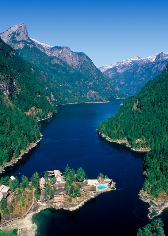
Princess Louisa Inlet — Chart 3514
So much is written about Princess Louisa Inlet that we will just confirm that it is deservedly among the top destinations on BC’s coast. It is 30 NM from Egmont to the mouth of the Inlet. Plan to traverse Malibu Rapids at slack tide. In July and August, the head of the Inlet under Chatterbox Falls is packed with boats. We recommend May-June and September, when you will have more solitude and the waterfalls will be breath-taking. Backeddy Resort is the ideal staging ground. If you don’t want to take your own boat, or you don’t own one, then you will get an enjoyable ride and historical-geographic commentary from Sunshine Coast Tours, out of Egmont.
Harmony Islands — Chart 3514 | 49.51.3 N 124.00.8 W
This is one of the most attractive settings on our coast. The Islands are about 3 NM up Hotham Sound, which is west of the entrance to Jervis Inlet. Harmony Islands Marine Park consists of the four southernmost islands, the smaller northernmost island, and most of the inside foreshore. As you approach, towering Friel Falls (427 metres) welcomes you on the E shore. The most sheltered and coveted anchorage is in the tiny basin (known locally as Kipling Cove) surrounded by the three northern islands. The cove offers dramatic vistas, warm-water swimming, good snorkeling and safe anchorage. There is much to explore by kayak. However, use caution when entering: there is a rock in the middle of the entrance, which at low tide is under about one metre of water. The bottom is rocky and space is limited in the basin, so most boaters elect to tie a stern line to the metal rings set into the rock. The channel leading to the cove has room for boats to swing, but stern-tie opportunities abound in depths of 5-12 metres with good holding in most locations.
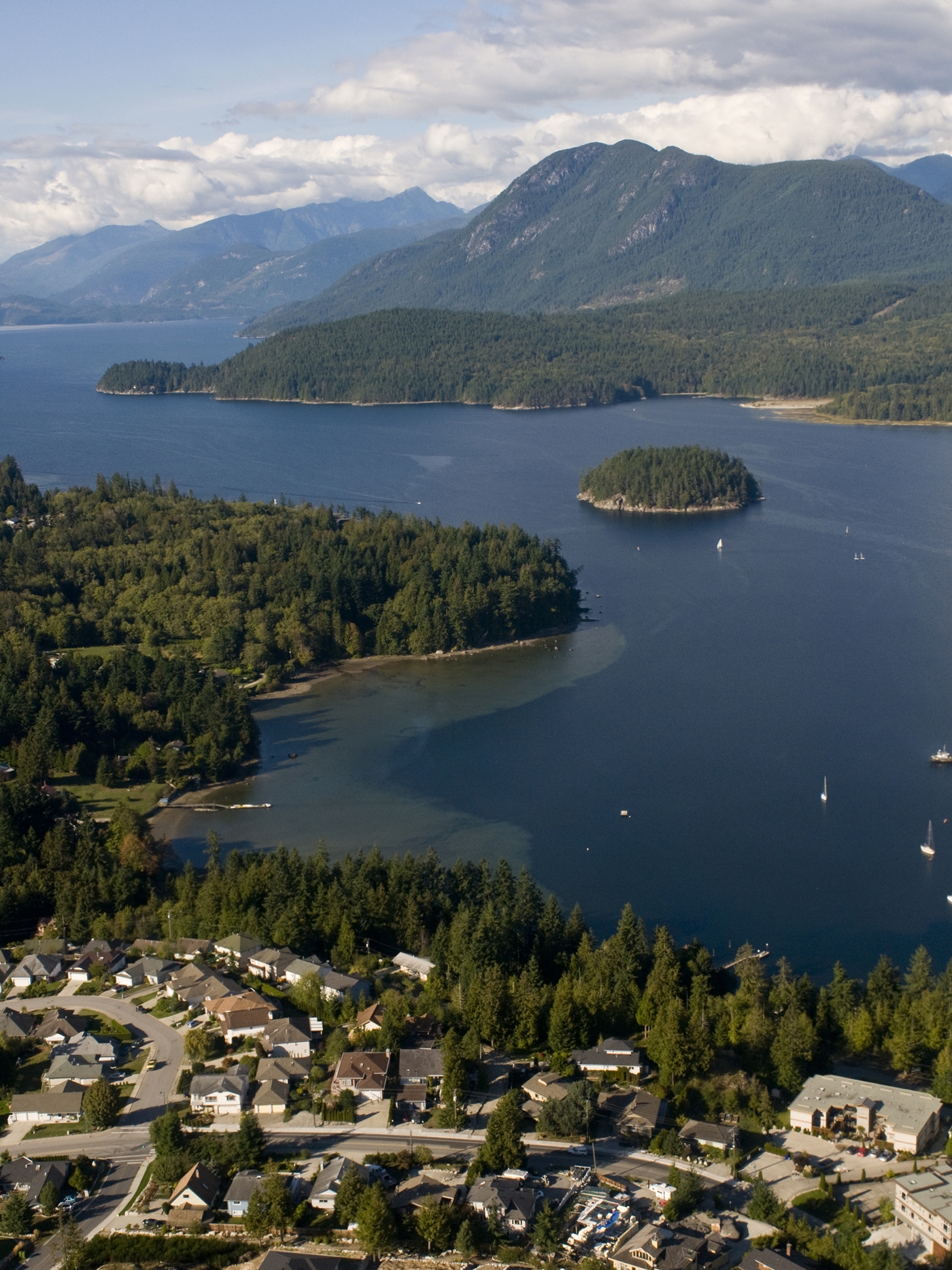
North Sunshine Coast
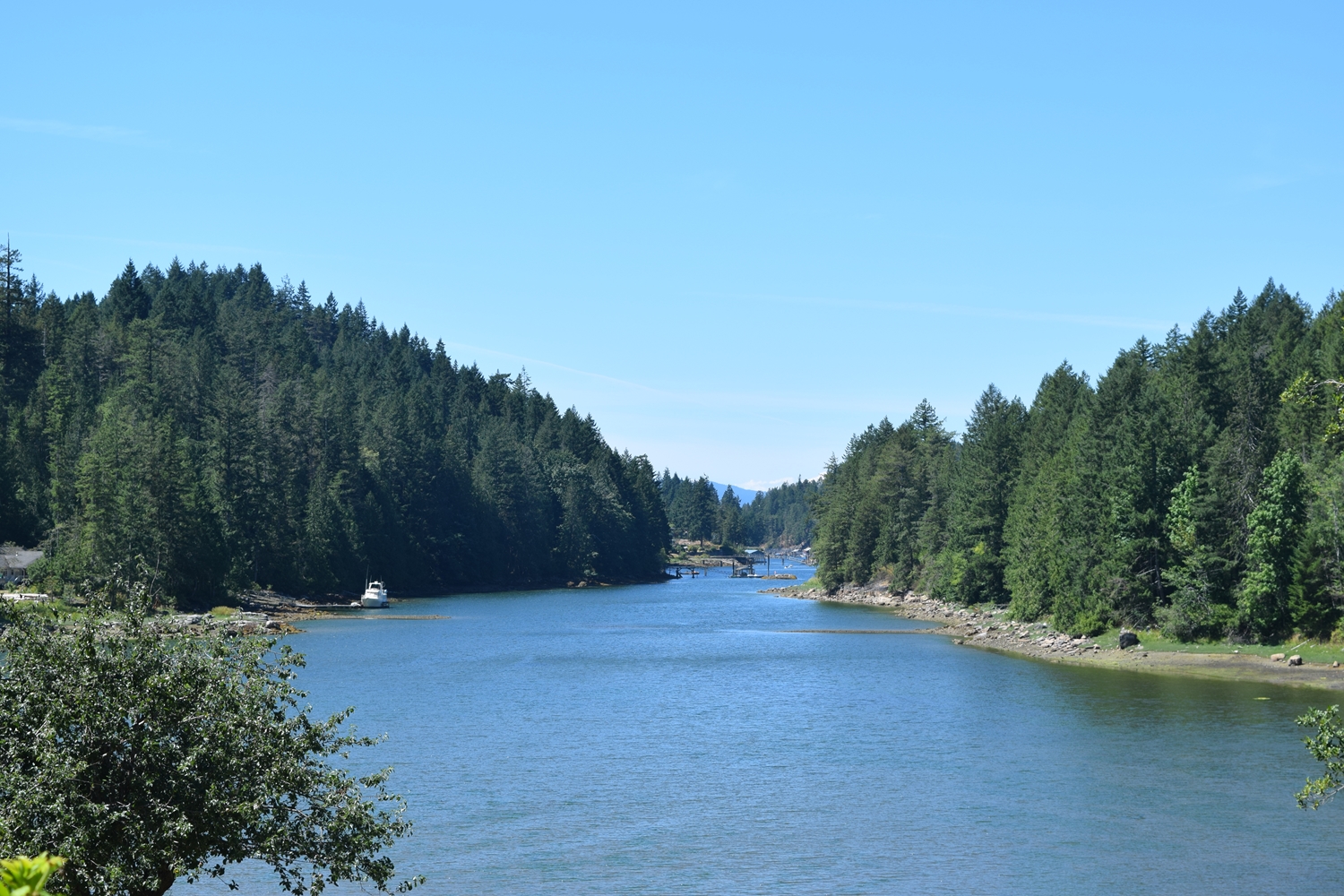
Agamemnon Channel and Jervis Inlet divide the North and South Sunshine Coast. From the entrance to Jervis Inlet, north along the eastern shore of the Malaspina Strait, to the tip of the Malaspina Peninsula, the coast is exposed and there are no serrations in it that provide protection. If you are heading that way, it is likely that Desolation Sound, Discovery Islands or the north and central coast (maybe Alaska) are your destinations. Powell River is your last full-service port and community of size. Lund is a delight and well worth a day or over-night visit. And once in Desolation Sound, a side trip down Okeover Inlet is highly rewarded.
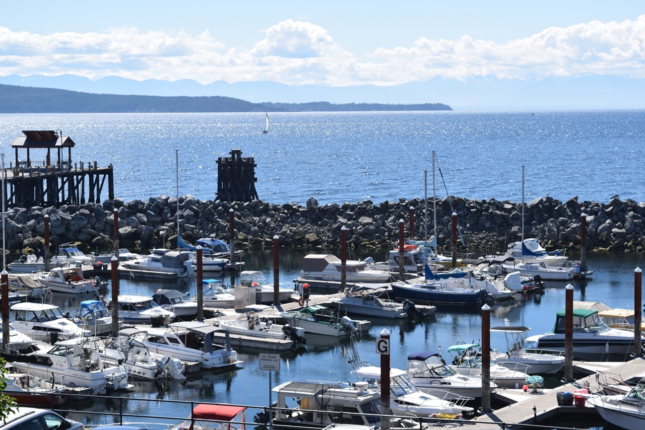
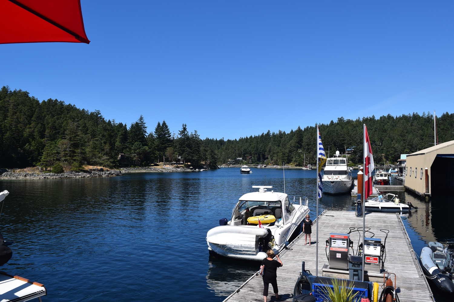
Westview Harbour Authority — Chart 3536
A berth at either the North or South basins puts you right in the heart of Powell River. You can walk to an assortment of restaurants (see Food & Beverage Guide tab above). This is the last place where you will find a full range of gear, parts and marine services until Prince Rupert (see Marine Services tab). The malls are out of sight on the hill, leaving the commercial strip along the waterfront to small vendors. The original site for the city (Townsite) is a few km. from the harbour, but worth a trip on bike. Check out the Westview and Powell River profiles on our map under the Explore tab.

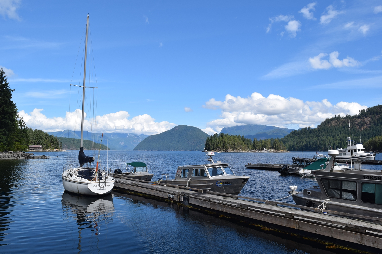
Lund — Chart 3538 | 49.58.9 N 124.45.9
This place is a lot of fun and in the height of summer it is a hive of boats coming and going, people walking the docks and shoreline or enjoying a meal or beverage at three distinctly Lund establishments. The Lund Resort at Klah ah men, first constructed in 1896, dominates the built-scape. Look closely for Nancy’s Bakery and the Boardwalk Café (see Food & Beverage Guide for menus). You can usually find over-night moorage at the Lund Harbour Authority or the smaller Lund Hotel float. Fuel and many marine services are available (see Marine Services tab).
Okeover Arm — Chart 3559 | 50.01.5 N 124.43.5 W
The trip up Okeover Inlet is as scenic as the waters of Desolation Sound, and less crowded. Lancelot Inlet is usually sparsely populated with boats and offers wide mountain vistas and a few secure anchorages. Keep exploring and get further away from others in Theodosia Inlet, entered through a narrow passage from Lancelot Inlet. There are several good anchorages. One place you do not want to miss is Okeover Landing. The little provincial park by that name has a short trail accessed from beside the Harbour Authority. The reason most make this trip is to dine at the Laughing Oyster. Executive Chef and host David Bowes welcomes you and encourages you to tip the entertainer. We arrived at 18:00 to take photos. The patios and airy rooms were full; people were still being seated when we left at 21:00. We saw boats at anchor north of the Harbour Authority. That might work on a dead calm night. The bottom is reputably hard-packed and you are exposed from all but the west. The Harbour Authority has room for a few transients. So pick your night carefully.